
Practical training on proximal sensor settings usage, and data interpretation (use of DSS and validated models); Challenges: difficulties in managing and ensuring the reliability of large volumes of data, high costs, and the need for ongoing training and technical support.
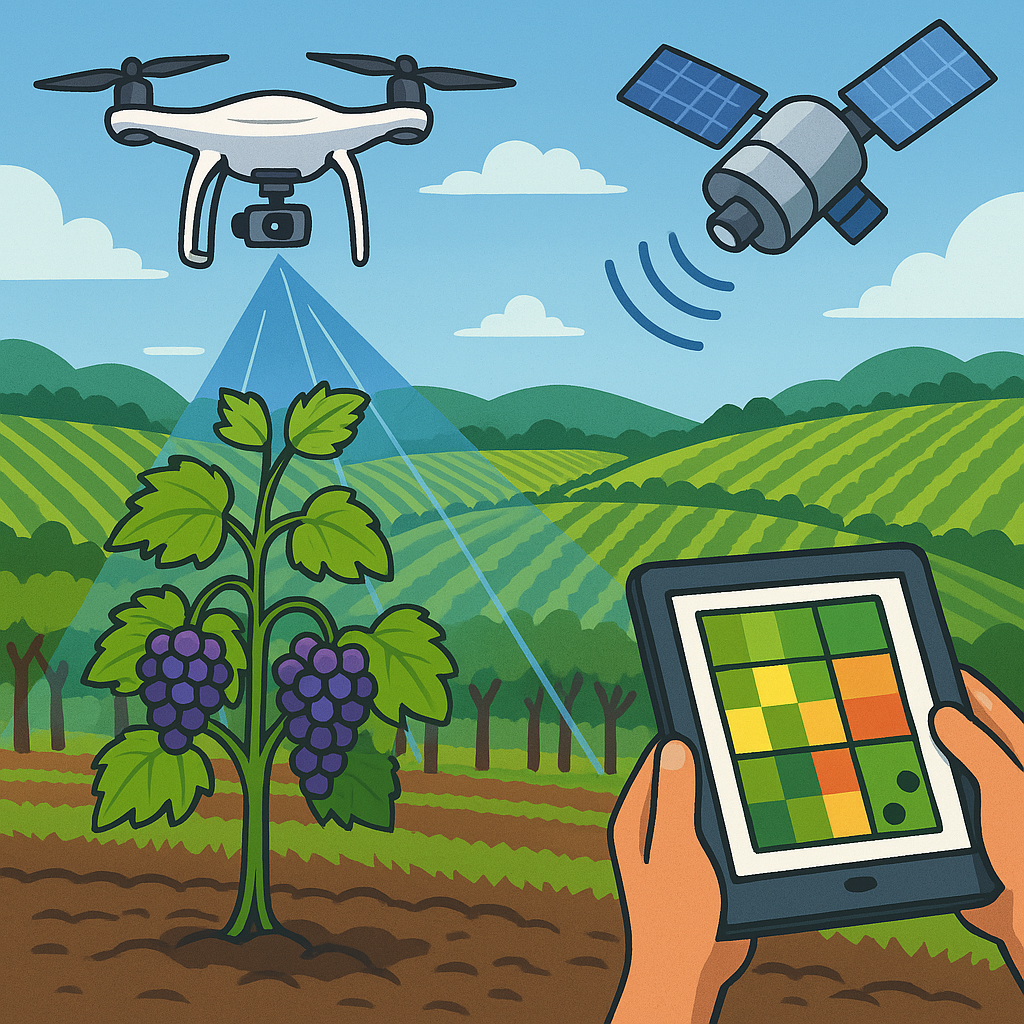
Satellite imaging; Key training areas of interest include data interpretation, integrating satellite data with farming machinery; GIS and data integration with drone imagery; Challenges: need for ongoing training and expertise in GIS and data integration.
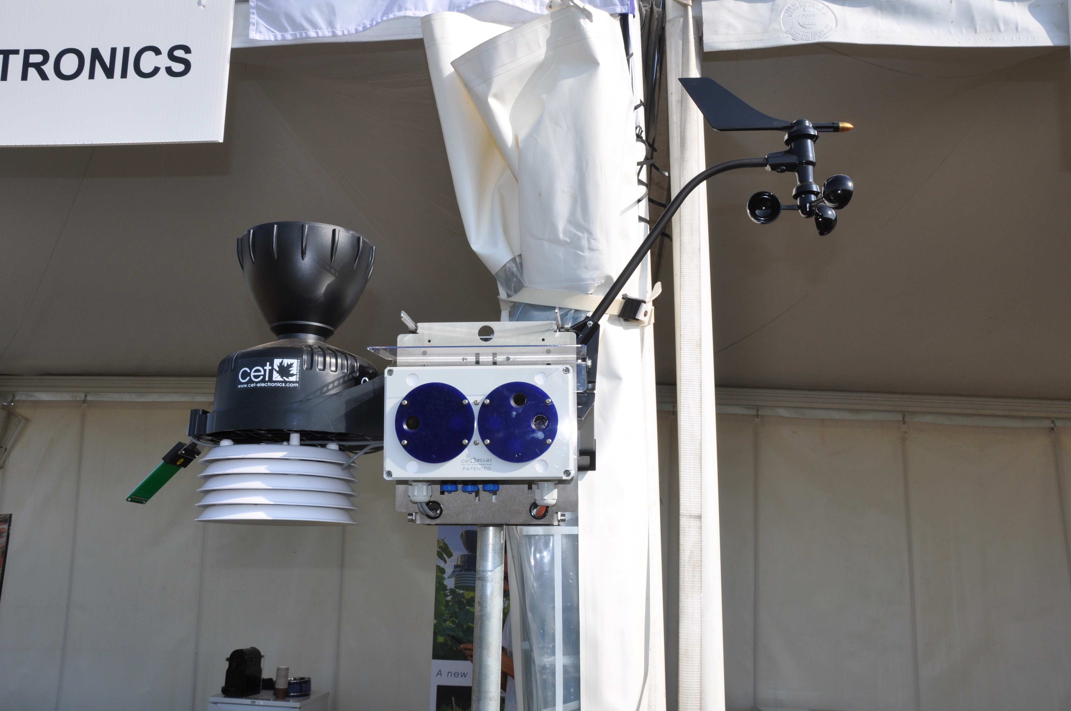
Using weather monitoring technology in vineyards; Using climate data for vineyard decision-making and climate impact analysis; Analyzing weather forecasts and interpreting weather-related data to better understand its impact on viticulture rather than collecting it; Challenges: obtaining accurate and representative data and difficulties with data integration and management for monitoring networks; Professional weather stations can be expensive and require regular maintenance, making them less accessible for small farms, and expanding networks to cover diverse conditions adds to the cost, potential of using very simple & cheap weather stations.